Private Access
700' +/- of Current River frontage with private boat ramp — controlled launch access on a spring-fed corridor.
Caves & Karst Guide | Estate For Sale
The Ozarks contain more documented caves than any region in North America. The Current River flows through a karst limestone system where caves and springs are the same geological story. This page covers that system — and a private estate for sale on the river it creates.
Current River Estate For Sale | 20 acres +/- | 700' +/- Current River frontage | several hundred feet of County Road U-5 frontage | 4 homes | 15+ acres vacant land
20 acres +/- | 700' +/- Current River frontage | several hundred feet of County Road U-5 frontage | 4 homes | 15+ acres vacant land
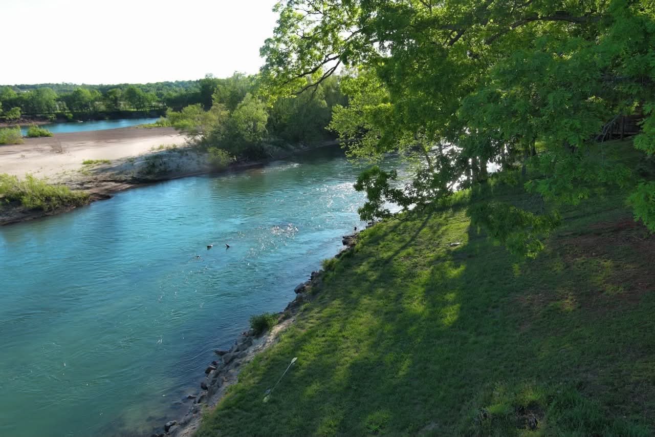
700' +/- of Current River frontage with private boat ramp — controlled launch access on a spring-fed corridor.
Several hundred feet of County Road U-5 frontage provides reliable vehicle access and long-term operational practicality.
15+ acres between frontages preserve privacy and maintain future development flexibility within the estate's footprint.
Four residences and a private boat ramp make the estate immediately usable for family, guests, and organized recreational use.
Caves and springs are not separate features of the Ozarks — they are the same geological process in different stages. The karst aquifer that builds the caves also fills the springs that fill the Current River. Understanding the geology is understanding why this river stays clear, cold, and fishable when other Missouri rivers fluctuate with rainfall.
Karst limestone dissolves over time to form cave networks that channel groundwater. Those networks feed the springs that feed the Current River. The caves you explore above ground and the river you float below are part of the same geological system.
Missouri has more documented caves than any other state. The Current River corridor passes through some of the most cave-dense terrain in that system. NPS and USGS document these formations as part of the Ozark Scenic Riverways natural resource inventory.
The karst aquifer that feeds the Current River is one of the most productive groundwater systems in Missouri. Properties on rivers fed by this system hold a structural water quality advantage that surface-water-dependent properties cannot match.
This estate sits on the output of that system — spring-fed frontage on a river that stays consistent because the aquifer feeding it doesn't depend on surface weather. Four residences, private ramp, and 700' of frontage represent ownership of that consistency.
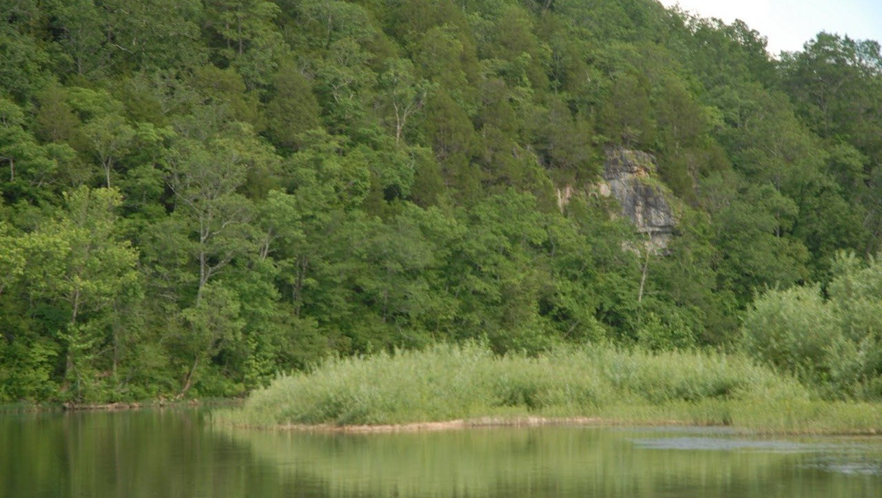
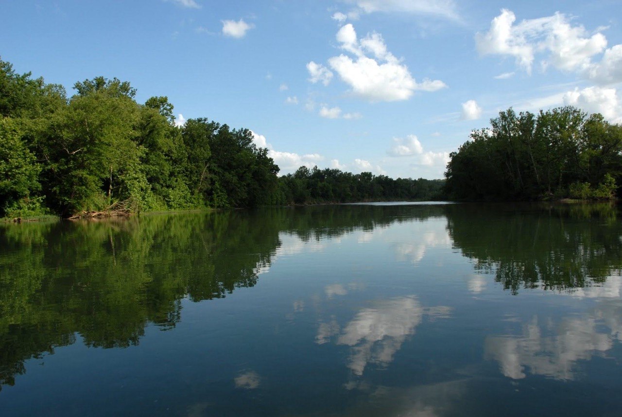
The Current River's clarity is a product of its karst source. Filtered through limestone over decades, the spring water that emerges is low in sediment and high in mineral clarity. That quality shows up in the river adjacent to the estate's private launch ramp.
Owning frontage on a karst-fed river is owning the output of an aquifer that has been filtering water for centuries.
The NPS manages the karst system within the Scenic Riverways to protect water quality. That management creates a buffer around the spring inputs — limiting development that could degrade the aquifer. Private land downstream benefits from that protection without bearing its costs.
Federal karst protection is a structural land value driver that buyers with geological understanding will recognize immediately.
Cave explorers and serious water property buyers understand something most people don't: the surface and the underground are connected. The caves tell you about the aquifer. The aquifer tells you about the river. The river tells you what the frontage is actually worth.
This estate is positioned on the output of one of the most productive karst aquifer systems in Missouri. The caves and springs upstream are the geological explanation for why the Current River stays clear when other Missouri rivers run muddy. That's a water quality advantage that belongs to frontage owners on this corridor.
20 acres +/- | 700' +/- Current River frontage | several hundred feet of County Road U-5 frontage | 4 homes | 15+ acres vacant land
Spring-fed, spring-clear, and federally protected.
Private access changes everything about this corridor.
Carbonic acid dissolves Ozark limestone over thousands of years, creating the cave networks that then channel groundwater to surface springs. The size and consistency of those springs — like Big Spring and Round Spring — are indicators of aquifer health above.
The NPS manages cave access within the Ozark National Scenic Riverways to protect both visitor safety and the cave ecosystem. Regulated access limits disturbance to bat populations and cave formations — maintaining the biological health of the karst system.
USGS and NPS conduct ongoing water quality monitoring at multiple points in the Current River system. Those reports document the karst aquifer's contribution to flow consistency, temperature stability, and sediment absence — all factors that define the estate's water access quality.
Buyers who research cave systems in the Ozarks are digging into the geology of one of the most unusual water environments in the country. That research leads naturally to the recognition that private frontage on the river the caves create is a rare and protected asset.
Government and institutional sources for planning, research, and ownership due diligence in the Current River corridor.
Official NPS documentation on the karst geology, cave systems, and spring resources that define the Ozark National Scenic Riverways ecosystem. View Official Resource.
United States Geological Survey data on the Ozark Plateau aquifer system, including groundwater levels, spring discharge, and water quality documentation. View Official Resource.
Missouri Department of Conservation resources on cave ecology, bat habitat, and the karst system that feeds Missouri's most productive spring-fed rivers. View Official Resource.
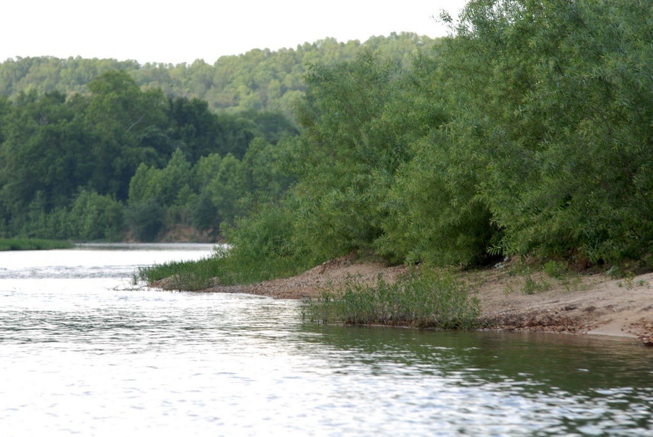
Water, wildlife, and private access — the visual case for owning on the Current River.

The estate is on the Current River in Ripley County, a region with high cave density. The broader Ozark National Scenic Riverways includes multiple documented caves. Buyers interested in cave access can use NPS and MDC resources to identify access points within the managed corridor near the estate's location.
The karst aquifer filters surface water through limestone before it emerges as spring discharge into the Current River. This natural filtration produces water with low sediment, consistent temperature, and high clarity — the same qualities that make the river attractive for swimming, kayaking, and fishing. Private frontage on this river gives buyers direct access to those filtered spring inputs.
Request a showing and evaluate the estate through the lens of the geological system that makes it valuable.
Buyers who understand Ozark cave geology understand why spring-fed rivers are a different category of water asset. A showing provides full property access and a direct conversation about how the estate's frontage connects to the broader system.

Pricing and terms, survey and title documentation, private tour scheduling, ownership structure, permitted use context, and long-term positioning within the Current River corridor.
The caves and the river are the same story. This estate owns the water at the end of it.